
Every Global Positioning System (GPS) position and calculated speed has some uncertainty. Buildings, covered parking, tracker placement and slow movement can reduce position quality. A delayed upload can also make an older position appear on the map later than expected.
Before you start
Choose a time period long enough to contain several location updates, rather than judging one point by itself. Note the vehicle name, the affected date and time, and what looks wrong.
The closest displayed address is looked up separately from the recorded latitude and longitude coordinates. It can name a nearby property even when the coordinates are within the expected GPS uncertainty.
Steps
- Select the vehicle on Map and replay the affected time using a custom History range. Look for repeated errors or a single unusual point.
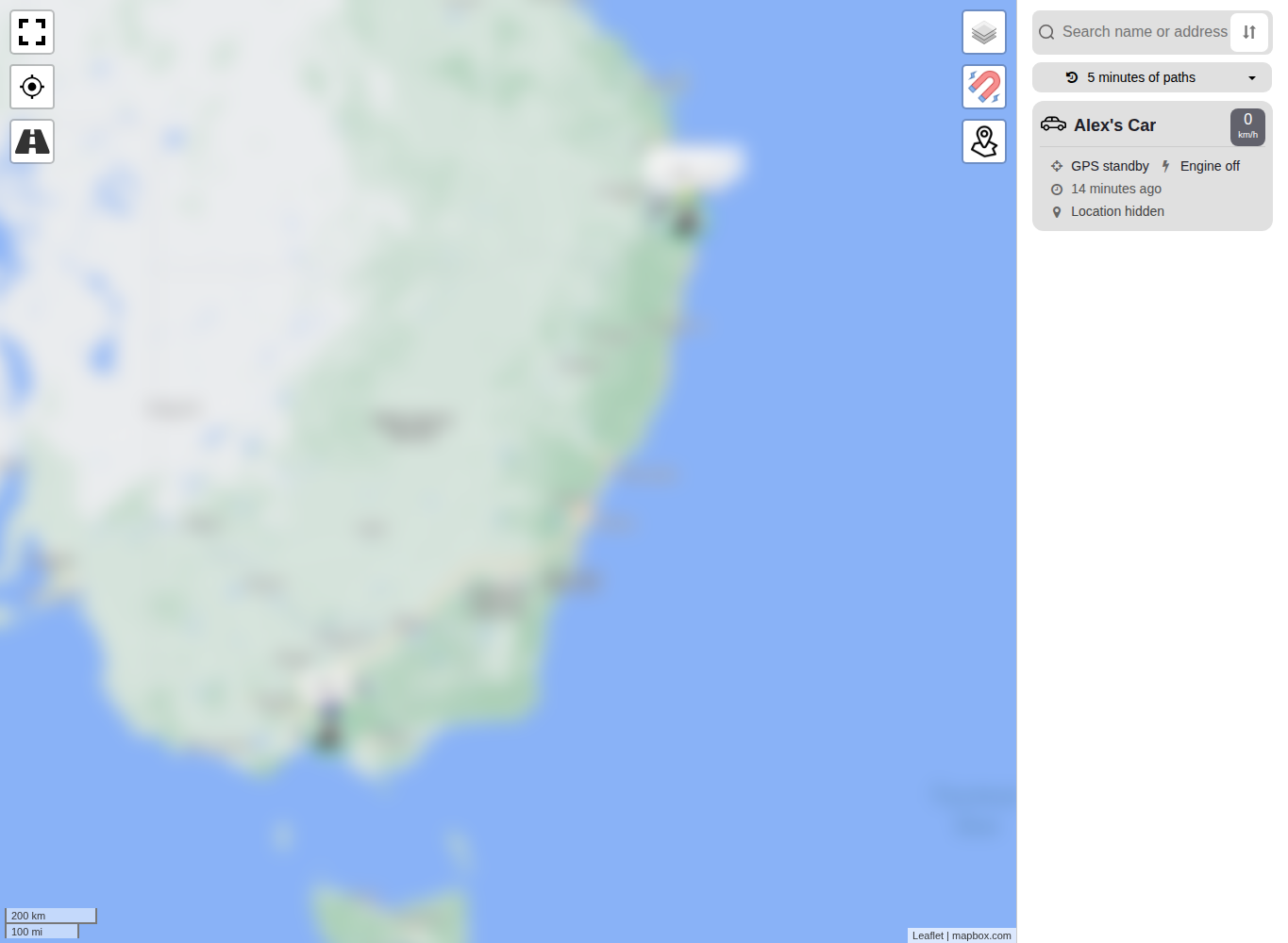
- Turn Snap to road off under Settings > Application Settings. This shows the path from recorded GPS positions instead of an approximate path drawn along nearby roads.
- Open Reports > Raw GPS Data for the same period.
- Compare the recorded time with the uploaded time. The recorded time is when the tracker created the point. Uploading normally happens later, but an unusually large gap compared with surrounding points may indicate that the tracker stored data before it could send it.
- Review the speed, accuracy and coordinates across several rows. Check whether the unusual point has poorer accuracy than the surrounding points.
- Consider the vehicle's conditions at that time: indoors or under cover, stationary, moving slowly, or offline. Each can explain missing, delayed or less precise points.
- If the problem repeats, confirm that a fixed tracker is mounted in the orientation recommended for its model. Ask a qualified installer to inspect it if the mounting is inaccessible or near vehicle wiring.
What happens next
An isolated point with poor accuracy generally needs no change when surrounding points are reasonable. Repeated large errors while the vehicle has a clear view of the sky may justify an installation check or Support review. Keep the vehicle name and exact affected times so the same records can be examined.
Troubleshooting
- A parked vehicle appears at a neighbouring address: Compare the coordinates and accuracy instead of relying only on the closest-address label. The area of GPS uncertainty can cover nearby properties.
- A journey starts and ends at the same displayed place: This can be correct for a return trip. Replay the middle of the journey and compare its Raw GPS rows before treating the matching endpoints as an error.
- Part of a path is missing: Compare recorded and uploaded times around the gap. Stored points can appear later after the tracker reconnects; also check whether the tracker was powered and in mobile coverage.
- The path jumps to a distant point: Turn off Snap to road, then compare that point's accuracy, satellite data and neighbouring Raw GPS rows. One poor point is different from a repeated installation or reception problem.
- Slow movement is not represented clearly: Review several Raw GPS rows and the configured path history. Position uncertainty can be large relative to the distance travelled at low speed.
- The error repeats with a clear view of the sky: Check model-specific mounting and orientation, then ask a qualified installer to inspect fixed hardware if required.
- Support review is needed: Send the vehicle name, exact affected times, timezone and completed checks. Do not send account credentials or unrelated location history.